

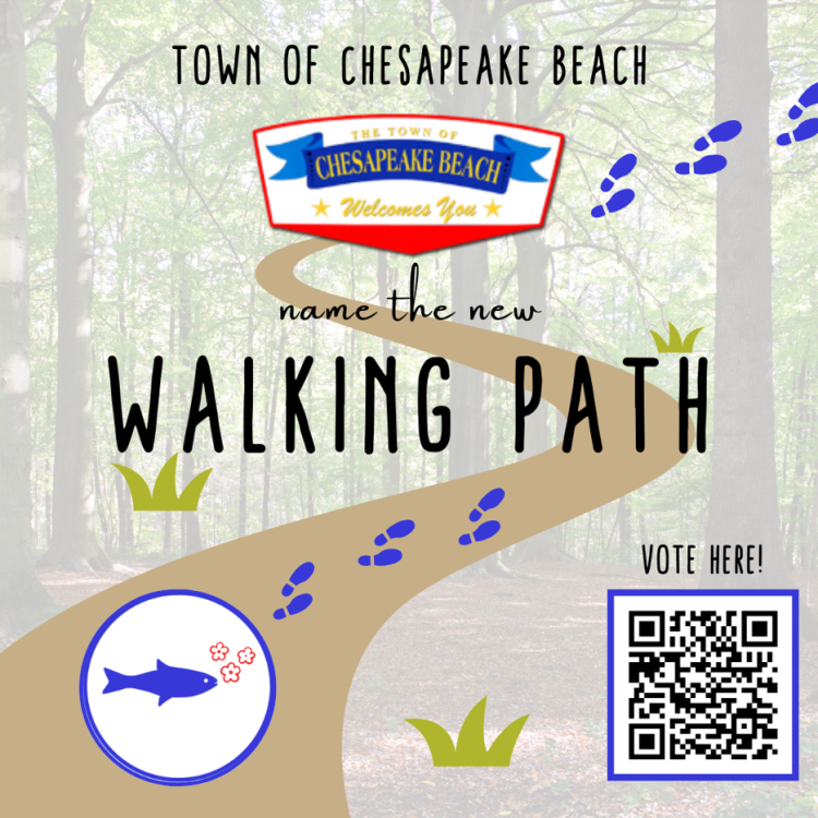
Name Your New Walking Paths!

February 23, 2024 (Chesapeake Beach, MD) - The Town of Chesapeake Beach requests your engagement in naming new walking paths throughout the Town! The paths are designed to connect you to the Town's bayfront parks and the Chesapeake Beach Green team sustainable gardens.
Please take a moment and tell us your favorite name by clicking here.
The Town continues to work to expand safe connections throughout the Town following the Town's Master Walkability Plan. to provide neighborhood mobility and to build a connected core. "Walkability is not just about creating new paths and walkways; it is also re-envisioning the paths that we have by coming up with new routes to connect through Town," stated Councilwoman Peggy Hartman. The paths will provide new opportunities to get outside, be active, and explore the beauty of Chesapeake Beach.
Save the date for the ribbon cutting of the walking paths and pocket parks with exciting pop-up events at all locations on May 23, 2024; more details to follow!
Wondering where the Paths are located?
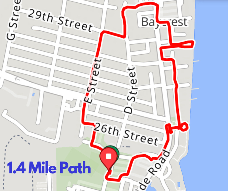
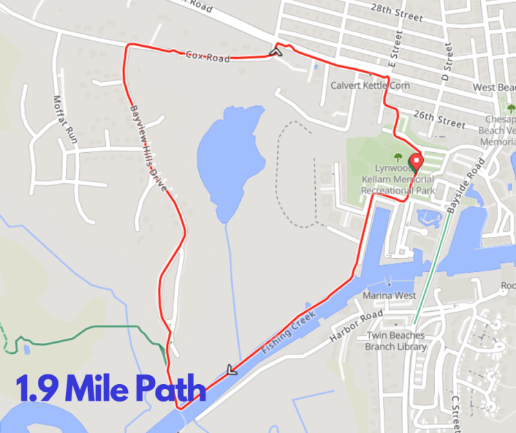
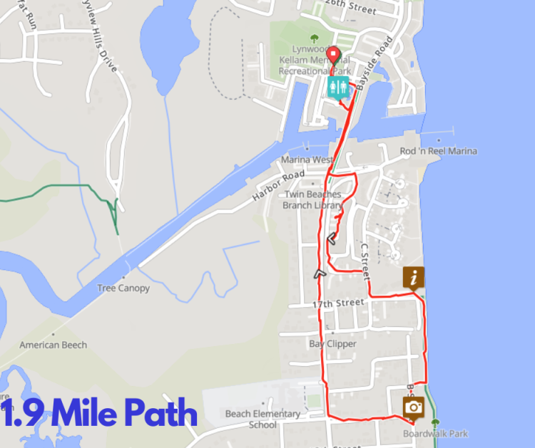
We are asking you to name the collective series of three paths (shown below as Path #1, #2, #3). The series of paths total 5.5 Miles and 394 feet connecting pedestrians to several features of the Town.
Path #1a - a 1.4 Mile Path connecting to the newly constructed "Shisler Park" and "Favret Way" on 29th street and Bayfront and several Green team buffer gardens and sustainability outreach projects.
Path #1b - a 1.9 Mile path connecting the newly constructed "Bucs Corner" access point to Kellams field, the Chesapeake Beach Green team buffer gardens and sustainability outreach projects, and the Chesapeake Beach Railway trail.
Path #1c - a 1.9 Mile path that connects the "Old Campgrounds Park" and the Historic Heritage Trail to the center of Town.
###